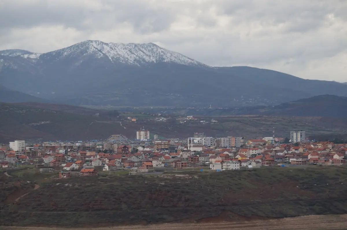
Kukës at a glance
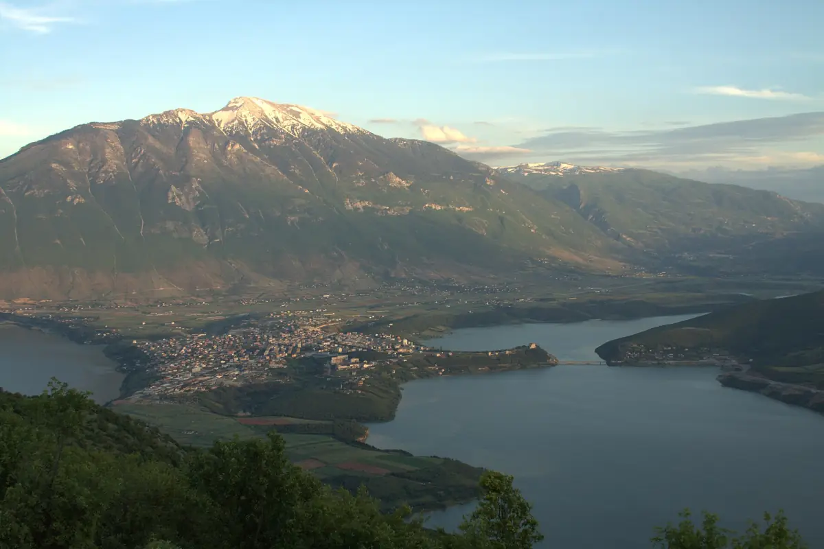
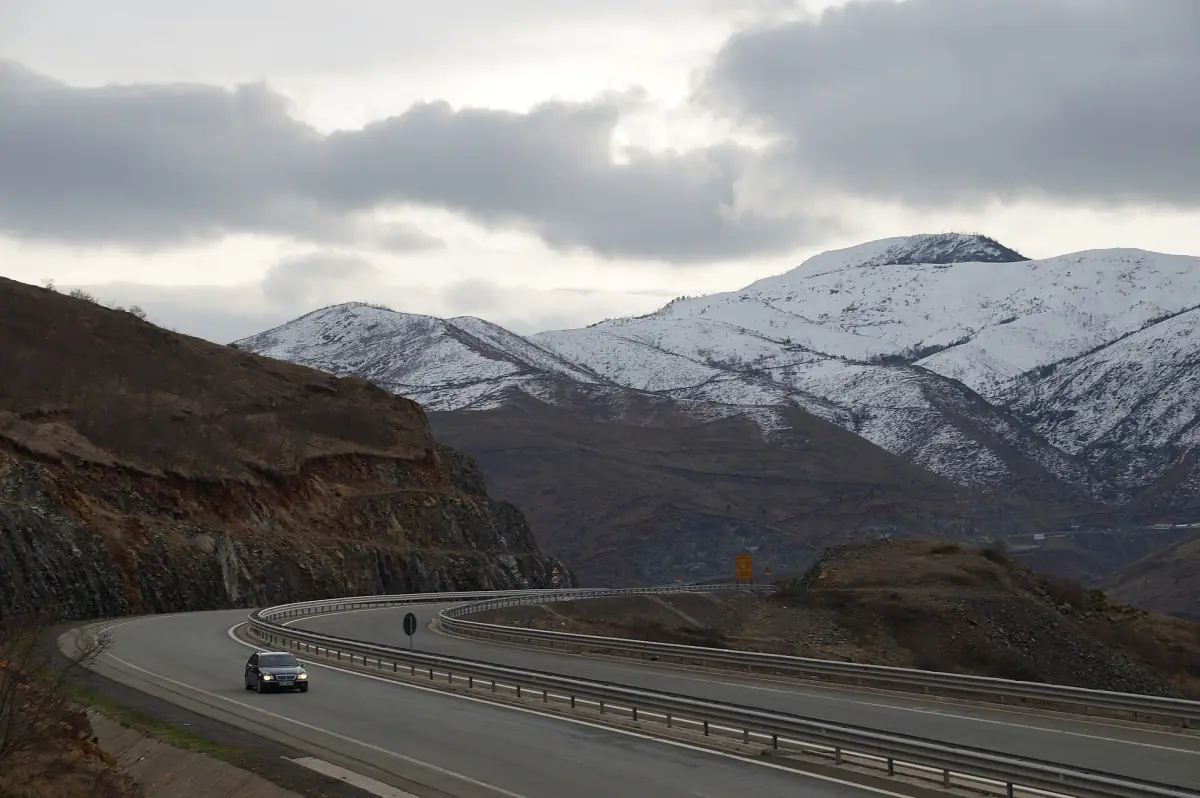
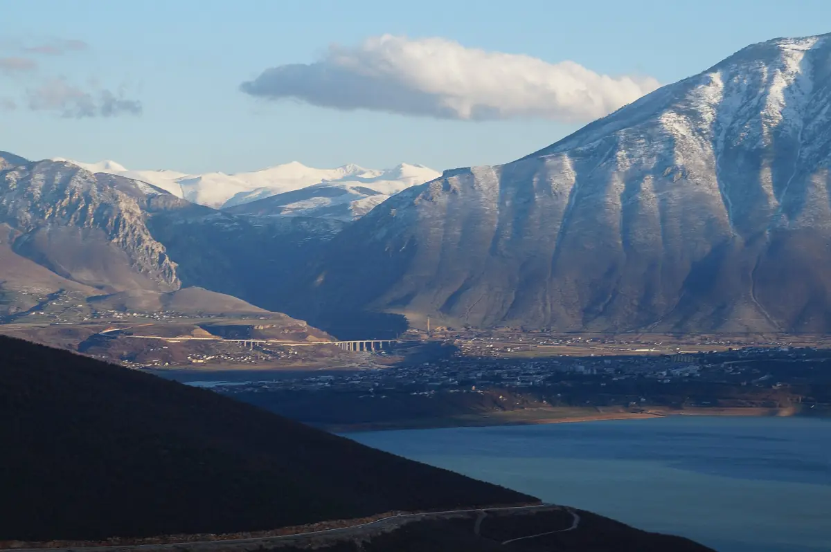
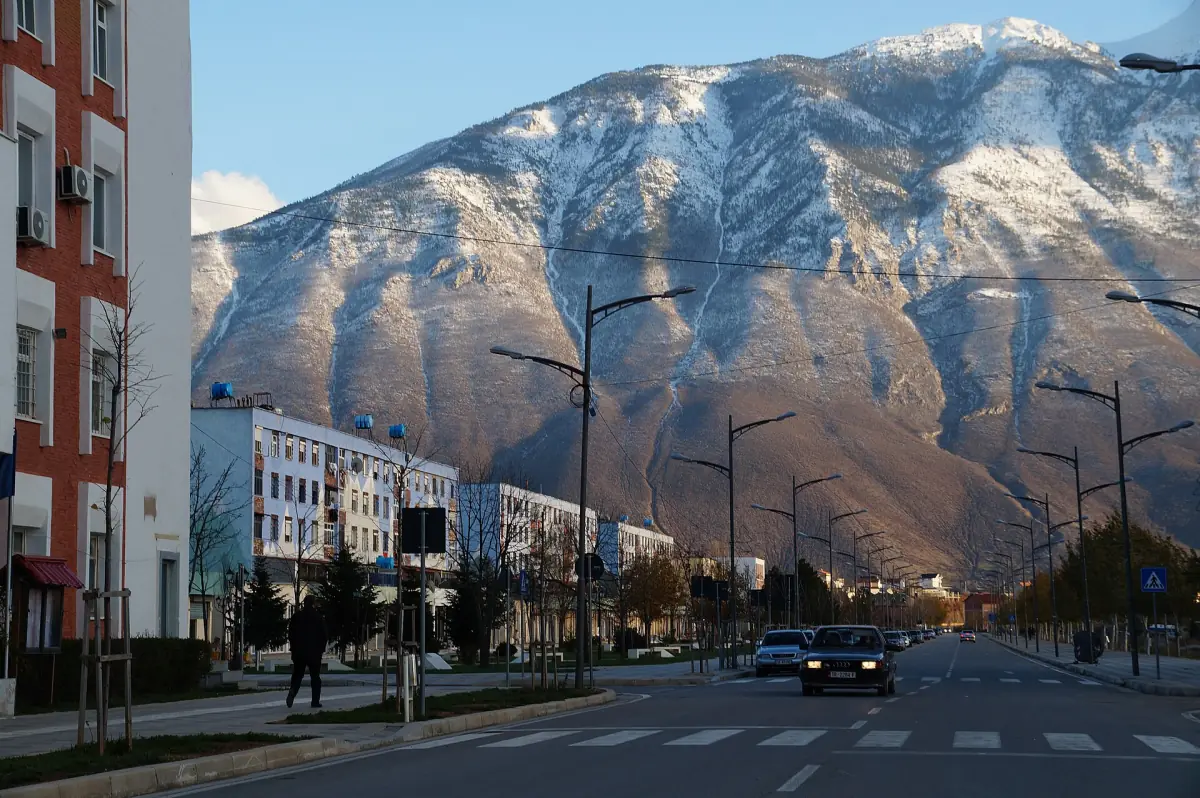
Kukës lies in north-east Albania, close to Kosovo, on Lake Fierza and at the foot of Gjallica. The town is compact. The main things to do are a museum in the centre, views over the lake and the mountains, and a climb up Gjallica for those who want a full day on foot.
Lake Fierza is an artificial lake on the Drin, created in 1978 for hydropower. It covers about 72.5 km² and stretches roughly 70 km. The shoreline depends on the water level, so it is not the same all year. For a longer excursion, see the Albanian Alps tours. Many of them start in Tirana or Shkodër rather than in Kukës.
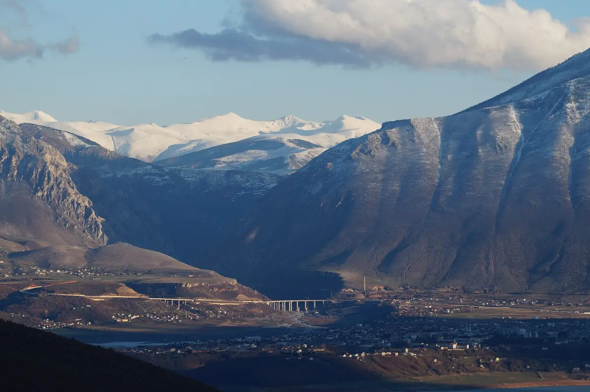
Our pick: Kukës on a Prizren day trip
This trip touches Kukës on the way to Prizren, but starts in Tirana or Durrës.
Hand-picked tours, booked through GetYourGuide. Prices are indicative starting prices in euros (as of October 2026). Tap a tour for live availability and the current price in your currency.
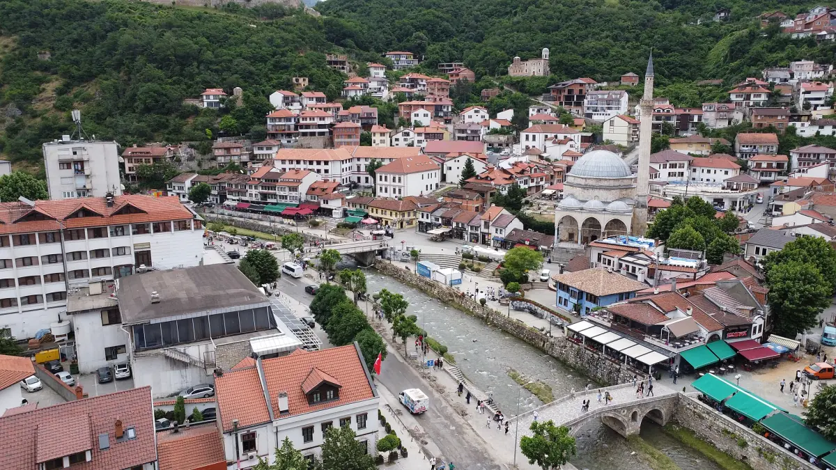
Tours and day trips near Kukës
Albanian Alps, Valbona, the Koman ferry and trips to Kosovo, with live prices and availability.
What to see in Kukës
Four places in or next to the town.
Ethnographic Museum
The museum stands in the town centre, near the Exodus Tower and the obelisk that remembers the refugees. It has three sections: biodiversity, archaeology and ethnography. The displays refer to the districts of Luma, Malziu and Gora. Check opening hours and the ticket price at the door.
Read the town's history →Lake views
Lake Fierza and the mountains around it are the main sight. Pick a clear day for the views. There is no single named viewpoint to aim for, so choose the spot that suits you.
The underground tunnels
A system of tunnels was built from 1979 to 1992, about 30 m below the town. The plans included accommodation, a command centre, a hospital, a bakery and a printing house. Do not count on a full visit. Ask locally whether a guided visit is possible.
A walk through the centre
The centre is small enough to cross on foot. Combine the museum, the memorial obelisk and a coffee stop in one morning.
A simple day in Kukës
How the town fits into one day if you are not climbing.
Morning: the museum
Start at the ethnographic museum while you are fresh. Its three sections of biodiversity, archaeology and ethnography give you the background to the region before you go out and look at it.
Midday: the centre
Walk to the Exodus Tower and the refugee memorial obelisk close by. They are in the same part of town as the museum, so you do not need transport.
Afternoon: the water
Spend the rest of the day on the lake and the hills around it. If the weather is clear, the mountains across the water frame the view.
There is no single ticket for the town. Check each place for its own price and hours, and do not plan a tight schedule around opening times.
Gjallica: the mountain above Kukës
Gjallica rises to about 2,490 m. The slopes are steep, with limestone terrain. Paths start from Shtiqën, Nangë, Lojme and from Kukës itself. From the top you see the Kukës basin and the Shishtavec plateau.
Treat Gjallica as a mountain day, not a stroll. Do not expect a simple, signposted standard route. Walking times, parking at the start and the snow cover are not fixed, so ask locally before you set out. Start early, carry water and tell someone where you are going. The emergency number in Albania is 112, and rescue services in the mountains are limited.
Day trips from Kukës
Most of the region's big sights are a trip away.
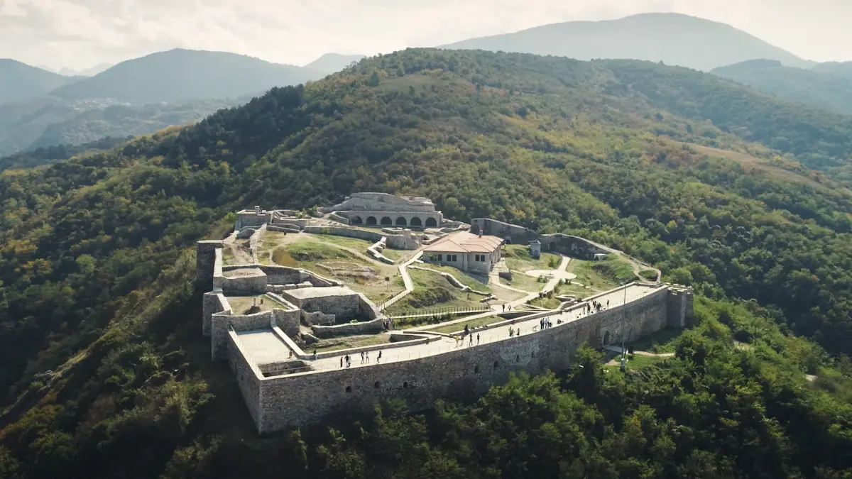
Prizren day trip
About 39 km away, with a border crossing and an old town.
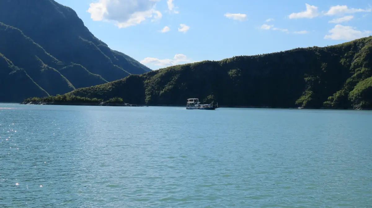
Komani Lake Ferry
The boat from Koman to Fierza and the way on to Valbona.
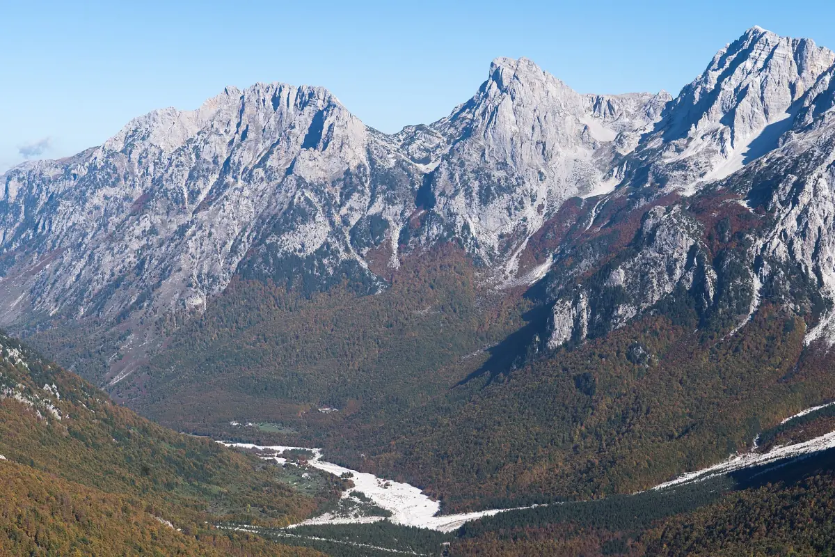
Valbona Valley
Hikes, the pass to Theth and how to get there.
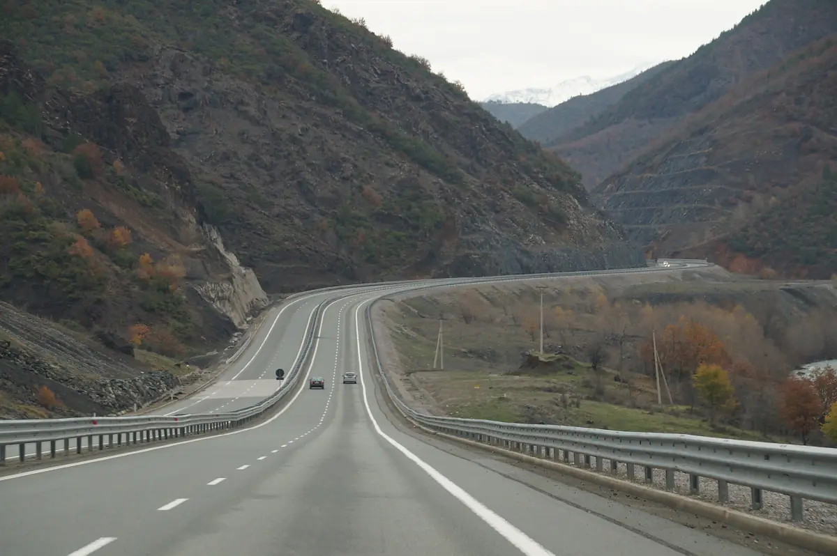
A north Albania route
How Kukës fits with the ferry, Valbona and Prizren.
Lake Fierza and the Koman Lake are two different lakes on the same river. The ferry runs on the Koman Lake. There is no ferry from Kukës to Valbona.
Things to do in Kukës: frequently asked questions
What is there to see in Kukës?
The ethnographic museum in the centre, the lake and mountain views, the memorial obelisk and Gjallica above the town. The underground tunnels are part of the town's story, but a visit is not something to plan on without asking locally.
How high is Gjallica?
About 2,490 m, or 2,487 to 2,489 m depending on the measurement.
Is it easy to climb Gjallica?
No. The slopes are steep and you should not expect a simple signposted route. Allow a full day, check the weather and snow, and ask locally about the path.
How big is Lake Fierza?
About 72.5 km² and roughly 70 km long. It was created in 1978 for hydropower, and the shoreline changes with the water level.
Is kukes.org an official site?
No. This is an independent travel guide with no connection to the Municipality of Kukës, the Albanian tourism agency, museums or any tour operator.